| Item Detail |
| |
| |
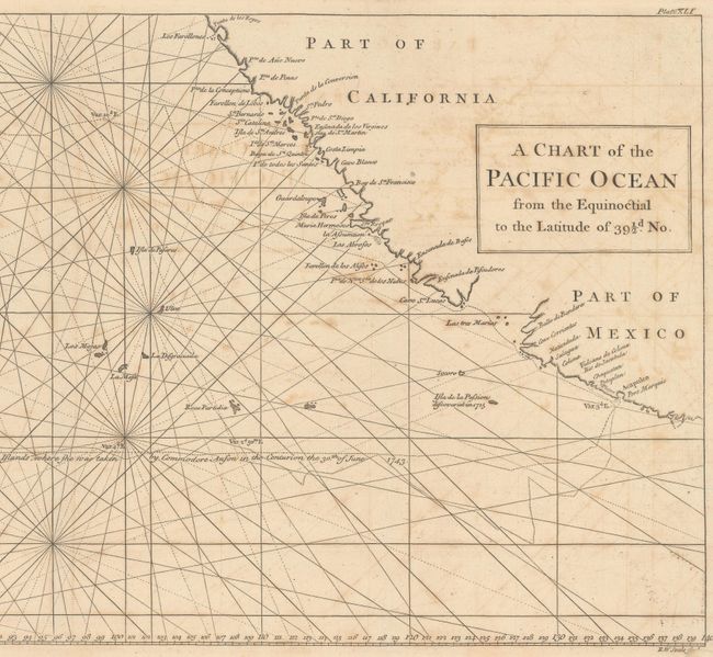
MapMaker: |
George Anson
|
|
| |
| |
Subject: |
Pacific Ocean |
|
| |
Period/Size: |
1748 / 10.8" x 35.0" (27.5 x 88.9 cm)
|
|
| |
Color: |
Black & White
|
|
| |
Condition: |
(B) A crisp impression, issued folding on paper with a "JW" watermark, with light offsetting and foxing. (condition help) |
|
| |
Source: |
A Voyage Round the World |
|
| |
References: |
Mercator's World (Nov/Dec 1998) p. 47; Shirley (BL Atlases) G.ANS-1a #13. |
|
| |
|
|
| Sales Information |
| |
| |
Price: |
|
|
| |
| |
Offered by: |
Old World Auctions |
|
| |
Catalog: |
Auction No. 173 - Antique Maps, Charts, Atlases & Globes (9471) |
|
| |
Lot/Item #: |
437 |
|
| |
| |
Date: |
06/2019
|
|
| |
| |
|