| Item Detail |
| |
| |
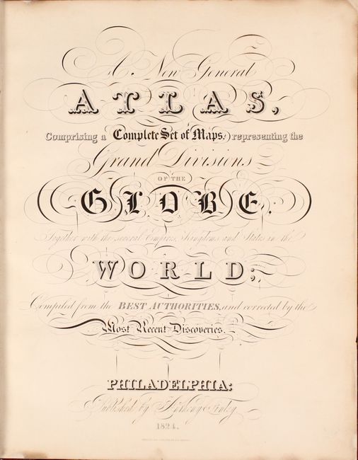
MapMaker: |
Anthony Finley
|
|
| |
| |
Subject: |
Atlases, World |
|
| |
Period/Size: |
1824 / 13.9" x 10.9" (35.3 x 27.7 cm)
|
|
| |
Color: |
Colored
|
|
| |
Condition: |
(A) Condition code is for the maps, which are near fine with only occasional minor offsetting and a few spots of foxing. Three maps (Kentucky, Netherlands, and Palestine) have manuscript ink notations on verso that do not show through on recto. There is (condition help) |
|
| |
Source: |
|
|
| |
References: |
Phillips (Atlases) #4314; Ristow, pp. 268-270. |
|
| |
|
|
| Sales Information |
| |
| |
Price: |
|
|
| |
| |
Offered by: |
Old World Auctions |
|
| |
Catalog: |
Auction No. 173 - Antique Maps, Charts, Atlases & Globes (9471) |
|
| |
Lot/Item #: |
459 |
|
| |
| |
Date: |
06/2019
|
|
| |
| |
|