Title:
“Atlas Geographique Dresse sous la Direction du Conseil Royal de l'Instruction Publique, pour l'Usage des Colleges ... Geographie Ancienne ... Geographie du Moyen-Age ... Geographie Moderne Actuelle...”
Map Maker:
Henri Selves [fils]
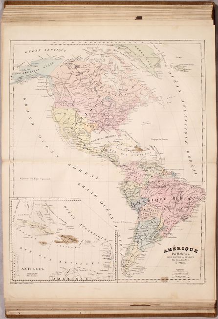
This French atlas was intended for school students... (full text available to subscribers)
| Item Detail |
| |
| |
MapMaker: |
Henri Selves [fils]
|
|
| |
| |
Subject: |
Atlases, World |
|
| |
Period/Size: |
1836 / 14.7" x 10.4" (37.4 x 26.5 cm)
|
|
| |
Color: |
Colored
|
|
| |
Condition: |
(B+) The maps are all in full contemporary color with light soiling, occasional foxing, and minor toning. Several maps have short centerfold separations at bottom or short edge tears. Some of the maps in Part Two have been trimmed at bottom by the bookb (condition help) |
|
| |
Source: |
|
|
| |
References: |
|
|
| |
|
|
| Sales Information |
| |
| |
Price: |
|
|
| |
| |
Offered by: |
Old World Auctions |
|
| |
Catalog: |
Auction No. 173 - Antique Maps, Charts, Atlases & Globes (9471) |
|
| |
Lot/Item #: |
460 |
|
| |
| |
Date: |
06/2019
|
|
| |
| |
|
Antique Maps - Valuation and Pricing, Descriptions, Resources |
|
Home |
Information |
Search |
Register |
Contact Us |
Site Map
Americana Exchange, Inc. © 1999 - 2024 Americana Exchange, Inc.. All rights reserved.
OldMaps.com, the OldMaps.com logo and
AMPR are service marks or registered service marks of Americana Exchange, Inc..
|