| Item Detail |
| |
| |
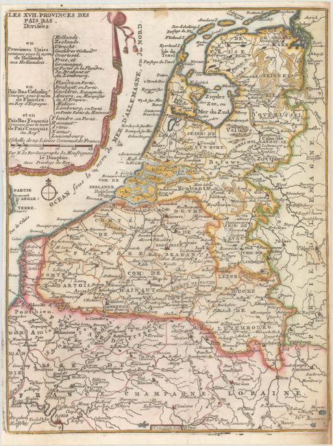
MapMaker: |
Nicolas de Fer
|
|
| |
| |
Subject: |
Low Countries |
|
| |
Period/Size: |
1705 / 10.8" x 8.3" (27.5 x 21.1 cm)
|
|
| |
Color: |
Colored
|
|
| |
Condition: |
(B+) Issued folding on bright, watermarked paper with light soiling at bottom right and top center. A chip at bottom right has been professionally repaired. Narrow margins. (condition help) |
|
| |
Source: |
Petit et Nouveau Atlas |
|
| |
References: |
Pastoureau, FER XII B. |
|
| |
|
|
| Sales Information |
| |
| |
Price: |
|
|
| |
| |
Offered by: |
Old World Auctions |
|
| |
Catalog: |
Auction No. 175 - Antique Maps, Charts, Atlases & Globes (9482) |
|
| |
Lot/Item #: |
406 |
|
| |
| |
Date: |
11/2019
|
|
| |
| |
|