| Item Detail |
| |
| |
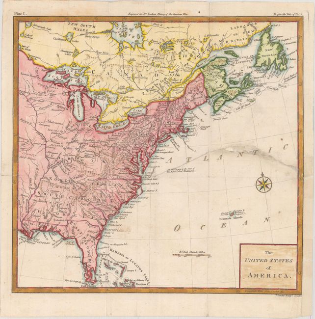
MapMaker: |
Thomas Conder
|
|
| |
| |
Subject: |
Eastern United States |
|
| |
Period/Size: |
1788 / 11.3" x 11.8" (28.7 x 30.0 cm)
|
|
| |
Color: |
Colored
|
|
| |
Condition: |
(B) Issued folding with a 6.5" edge tear at right that has been closed on verso with archival tape. A few small chips in unengraved areas of the image adjacent to the tear have been closed with old paper. A binding trim at lower right has been replaced (condition help) |
|
| |
Source: |
The History of Rise, Progress and Establishment of the…United States |
|
| |
References: |
Howes #G-256. |
|
| |
|
|
| Sales Information |
| |
| |
Price: |
|
|
| |
| |
Offered by: |
Old World Auctions |
|
| |
Catalog: |
Auction No. 175 - Antique Maps, Charts, Atlases & Globes (9482) |
|
| |
Lot/Item #: |
113 |
|
| |
| |
Date: |
11/2019
|
|
| |
| |
|