| Item Detail |
| |
| |
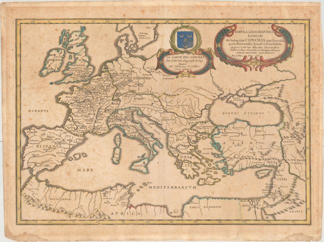
MapMaker: |
Pierre Duval
|
|
| |
| |
Subject: |
Europe |
|
| |
Period/Size: |
1660 / 14.8" x 21.2" (37.6 x 53.9 cm)
|
|
| |
Color: |
Colored
|
|
| |
Condition: |
(B) A nice impression on paper with a bunch of grapes watermark, moderate toning and foxing, and some damp stains and tears confined to the edges of the sheet. There is masking tape along the edges of the sheet on verso, which could be trimmed while leav (condition help) |
|
| |
Source: |
Cartes de Geographie les plus Nouvellesģ |
|
| |
References: |
Pastoureau, DUVAL II C [43]. |
|
| |
|
|
| Sales Information |
| |
| |
Price: |
|
|
| |
| |
Offered by: |
Old World Auctions |
|
| |
Catalog: |
Auction No. 175 - Antique Maps, Charts, Atlases & Globes (9482) |
|
| |
Lot/Item #: |
352 |
|
| |
| |
Date: |
11/2019
|
|
| |
| |
|