| Item Detail |
| |
| |
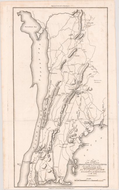
MapMaker: |
Richard Phillips
|
|
| |
| |
Subject: |
Southeastern New York, Revolutionary War |
|
| |
Period/Size: |
1806 / 16.5" x 8.8" (42.0 x 22.4 cm)
|
|
| |
Color: |
Black & White
|
|
| |
Condition: |
(A) A dark, crisp impression on paper with a "C 1806" watermark, a few faint spots, and minor offsetting. Narrow margin at bottom, but ample for framing. (condition help) |
|
| |
Source: |
Marshall's Life of Washington |
|
| |
References: |
|
|
| |
|
|
| Sales Information |
| |
| |
Price: |
|
|
| |
| |
Offered by: |
Old World Auctions |
|
| |
Catalog: |
Auction No. 175 - Antique Maps, Charts, Atlases & Globes (9482) |
|
| |
Lot/Item #: |
217 |
|
| |
| |
Date: |
11/2019
|
|
| |
| |
|