| Item Detail |
| |
| |
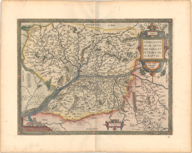
MapMaker: |
Abraham Ortelius
|
|
| |
| |
Subject: |
Western France |
|
| |
Period/Size: |
1579 / 14.0" x 18.7" (35.6 x 47.5 cm)
|
|
| |
Color: |
Colored
|
|
| |
Condition: |
(A) A dark impression on paper with the common horn coat of arms watermark found on Ortelius maps. There is light printer's ink residue, a crease at top left, and some toning along the edges of the sheet. Old manuscript page number below the map at righ (condition help) |
|
| |
Source: |
Theatrum Orbis Terrarum |
|
| |
References: |
Van den Broecke #40. |
|
| |
|
|
| Sales Information |
| |
| |
Price: |
|
|
| |
| |
Offered by: |
Old World Auctions |
|
| |
Catalog: |
Auction No. 175 - Antique Maps, Charts, Atlases & Globes (9482) |
|
| |
Lot/Item #: |
417 |
|
| |
| |
Date: |
11/2019
|
|
| |
| |
|