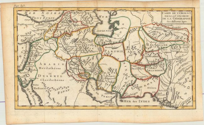
Title:
“Carte de l'Orient pour la Concorde de la Geographie des Differens Ages”
Map Maker:
Noel-Antoine Pluche
This map is bounded by the Mediterranean Sea, the ... (full text available to subscribers)
| Item Detail |
| |
| |
MapMaker: |
Noel-Antoine Pluche
|
|
| |
| |
Subject: |
Middle East |
|
| |
Period/Size: |
1765 / 5.5" x 9.8" (14.0 x 24.9 cm)
|
|
| |
Color: |
Colored
|
|
| |
Condition: |
(A) Issued folding on watermarked paper with a couple of small spots and light toning along the edges of the sheet. (condition help) |
|
| |
Source: |
Concorde de la Geographie des Differens Ages |
|
| |
References: |
|
|
| |
|
|
| Sales Information |
| |
| |
Price: |
|
|
| |
| |
Offered by: |
Old World Auctions |
|
| |
Catalog: |
Auction No. 175 - Antique Maps, Charts, Atlases & Globes (9482) |
|
| |
Lot/Item #: |
544 |
|
| |
| |
Date: |
11/2019
|
|
| |
| |
|
Antique Maps - Valuation and Pricing, Descriptions, Resources |
|
Home |
Information |
Search |
Register |
Contact Us |
Site Map
Americana Exchange, Inc. © 1999 - 2024 Americana Exchange, Inc.. All rights reserved.
OldMaps.com, the OldMaps.com logo and
AMPR are service marks or registered service marks of Americana Exchange, Inc..
|