| Item Detail |
| |
| |
MapMaker: |
William Henry Toms
|
|
| |
| |
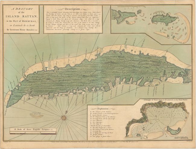
Subject: |
Roatan, Honduras |
|
| |
Period/Size: |
1744 / 19.6" x 27.3" (49.8 x 69.4 cm)
|
|
| |
Color: |
Colored
|
|
| |
Condition: |
(B+) Full contemporary color with light toning, minor soiling, and a 1.5" tear in the bottom right corner of the map that has been archivally repaired. (condition help) |
|
| |
Source: |
|
|
| |
References: |
Kapp (MCC-103) #43. |
|
| |
|
|
| Sales Information |
| |
| |
Price: |
|
|
| |
| |
Offered by: |
Old World Auctions |
|
| |
Catalog: |
Auction No. 175 - Antique Maps, Charts, Atlases & Globes (9482) |
|
| |
Lot/Item #: |
274 |
|
| |
| |
Date: |
11/2019
|
|
| |
| |
|