| Item Detail |
| |
| |
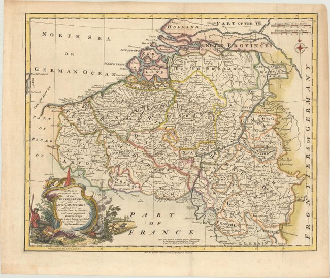
MapMaker: |
Emanuel Bowen
|
|
| |
| |
Subject: |
Low Countries |
|
| |
Period/Size: |
1751 / 13.6" x 16.8" (34.6 x 42.7 cm)
|
|
| |
Color: |
Colored
|
|
| |
Condition: |
(A) Issued folding, now flattened, on paper with a fleur-de-lis watermark, one tiny hole in the image, and marginal soiling. (condition help) |
|
| |
Source: |
The History of England |
|
| |
References: |
Shirley (BL Atlases) G.RAP-2a #8. |
|
| |
|
|
| Sales Information |
| |
| |
Price: |
|
|
| |
| |
Offered by: |
Old World Auctions |
|
| |
Catalog: |
Auction No. 175 - Antique Maps, Charts, Atlases & Globes (9482) |
|
| |
Lot/Item #: |
407 |
|
| |
| |
Date: |
11/2019
|
|
| |
| |
|