Title:
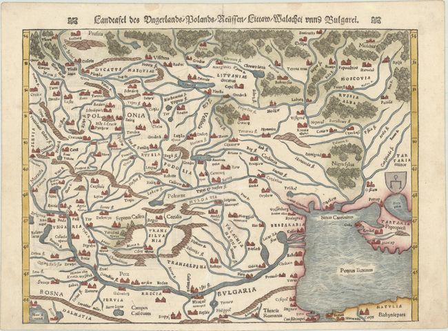
“Landtafel des Ungerlands, Polands, Reussen/ Littaw/ Walachei und Bulgarei”
Map Maker:
Sebastian Munster
Woodblock map of the region containing present-day... (full text available to subscribers)
| Item Detail |
| |
| |
MapMaker: |
Sebastian Munster
|
|
| |
| |
Subject: |
Eastern Europe |
|
| |
Period/Size: |
1556 / 10.1" x 13.6" (25.7 x 34.6 cm)
|
|
| |
Color: |
Colored
|
|
| |
Condition: |
(A) A crisp impression with one faint stain in the image along the centerfold and a couple of small damp stains in the top blank margin. (condition help) |
|
| |
Source: |
Cosmographey oder Beschreibung... |
|
| |
References: |
Shirley (BL Atlases) T.MUN-1f #10. |
|
| |
|
|
| Sales Information |
| |
| |
Price: |
|
|
| |
| |
Offered by: |
Old World Auctions |
|
| |
Catalog: |
Auction No. 175 - Antique Maps, Charts, Atlases & Globes (9482) |
|
| |
Lot/Item #: |
466 |
|
| |
| |
Date: |
11/2019
|
|
| |
| |
|
Antique Maps - Valuation and Pricing, Descriptions, Resources |
|
Home |
Information |
Search |
Register |
Contact Us |
Site Map
Americana Exchange, Inc. © 1999 - 2024 Americana Exchange, Inc.. All rights reserved.
OldMaps.com, the OldMaps.com logo and
AMPR are service marks or registered service marks of Americana Exchange, Inc..
|