| Item Detail |
| |
| |
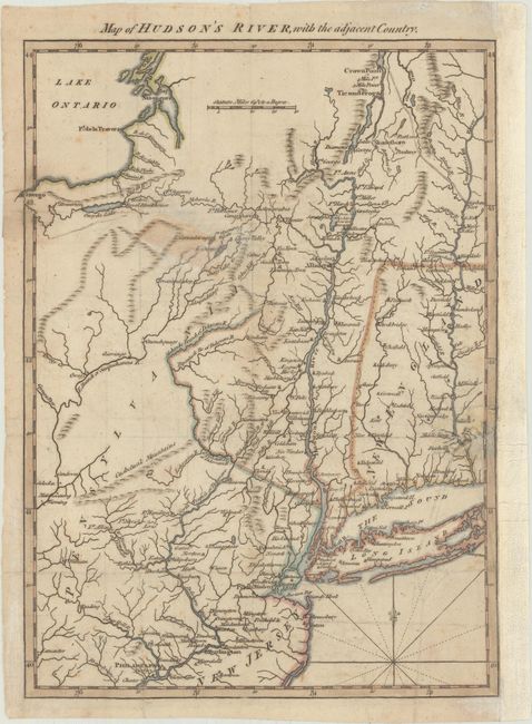
MapMaker: |
Anonymous
|
|
| |
| |
Subject: |
Colonial New England United States, Revolutionary War |
|
| |
Period/Size: |
1778 / 11.5" x 8.5" (29.3 x 21.6 cm)
|
|
| |
Color: |
Colored
|
|
| |
Condition: |
(B+) Light offsetting with an old tape stain southeast of Lake Ontario from tape on the verso that has been removed and archivally reinforced. There is an archivally repaired 1" tear at right and the right margin has been replaced with old paper. (condition help) |
|
| |
Source: |
Gentleman's Magazine |
|
| |
References: |
Jolly #GENT-257. |
|
| |
|
|
| Sales Information |
| |
| |
Price: |
|
|
| |
| |
Offered by: |
Old World Auctions |
|
| |
Catalog: |
Auction No. 175 - Antique Maps, Charts, Atlases & Globes (9482) |
|
| |
Lot/Item #: |
125 |
|
| |
| |
Date: |
11/2019
|
|
| |
| |
|