Title:
“Johnson's New Illustrated (Steel Plate) Family Atlas, with Descriptions, Geographical, Statistical, and Historical”
Map Maker:
Johnson & Browning
This popular atlas is complete and contains 30 sin... (full text available to subscribers)
| Item Detail |
| |
| |
MapMaker: |
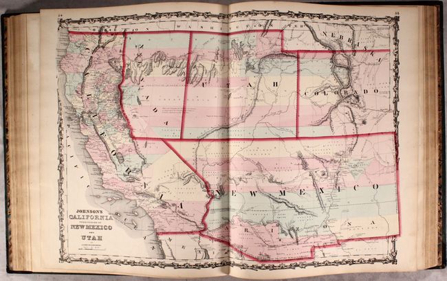
Johnson & Browning
|
|
| |
| |
Subject: |
Atlases, World |
|
| |
Period/Size: |
1862 / 18.6" x 15.1" (47.3 x 38.4 cm)
|
|
| |
Color: |
Colored
|
|
| |
Condition: |
(B+) Most of the maps are in near fine (A) condition, and about a third of the maps are in very good (B+) condition with light toning, soiling, and scattered foxing. Several maps have short centerfold separations at bottom. The map of the world on Merca (condition help) |
|
| |
Source: |
|
|
| |
References: |
|
|
| |
|
|
| Sales Information |
| |
| |
Price: |
|
|
| |
| |
Offered by: |
Old World Auctions |
|
| |
Catalog: |
Auction No. 175 - Antique Maps, Charts, Atlases & Globes (9482) |
|
| |
Lot/Item #: |
682 |
|
| |
| |
Date: |
11/2019
|
|
| |
| |
|
Antique Maps - Valuation and Pricing, Descriptions, Resources |
|
Home |
Information |
Search |
Register |
Contact Us |
Site Map
Americana Exchange, Inc. © 1999 - 2024 Americana Exchange, Inc.. All rights reserved.
OldMaps.com, the OldMaps.com logo and
AMPR are service marks or registered service marks of Americana Exchange, Inc..
|