| Item Detail |
| |
| |
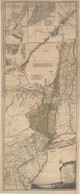
MapMaker: |
Thomas Jefferys
|
|
| |
| |
Subject: |
Colonial Northeast United States & Quebec |
|
| |
Period/Size: |
1777 / 52.0" x 20.3" (132.1 x 51.6 cm)
|
|
| |
Color: |
Colored
|
|
| |
Condition: |
(B+) Original color with a few insignificant spots and some marginal soiling. A few small holes have been expertly repaired with minute loss of image, and there is additional paper restoration in the blank margins, with the bottom blank margin remargined (condition help) |
|
| |
Source: |
|
|
| |
References: |
cf. Goss #69; McCorkle #768.3; Sellers & Van Ee, #1046; Pritchard & Taliaferro p.24; Tooley (A) #44. |
|
| |
|
|
| Sales Information |
| |
| |
Price: |
|
|
| |
| |
Offered by: |
Old World Auctions |
|
| |
Catalog: |
Auction No. 175 - Antique Maps, Charts, Atlases & Globes (9482) |
|
| |
Lot/Item #: |
101 |
|
| |
| |
Date: |
11/2019
|
|
| |
| |
|