| Item Detail |
| |
| |
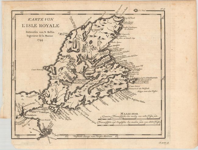
MapMaker: |
Jacques Nicolas Bellin
|
|
| |
| |
Subject: |
Cape Breton Island, Canada |
|
| |
Period/Size: |
1744 / 9.6" x 10.6" (24.4 x 27.0 cm)
|
|
| |
Color: |
Black & White
|
|
| |
Condition: |
(B+) Issued folding on watermarked paper with faint offsetting. There is a binding trim at lower left. (condition help) |
|
| |
Source: |
Allegmeine Historie der Reisen zu Wasser und zu Lande |
|
| |
References: |
Kershaw #863. |
|
| |
|
|
| Sales Information |
| |
| |
Price: |
|
|
| |
| |
Offered by: |
Old World Auctions |
|
| |
Catalog: |
Auction No. 175 - Antique Maps, Charts, Atlases & Globes (9482) |
|
| |
Lot/Item #: |
83 |
|
| |
| |
Date: |
11/2019
|
|
| |
| |
|