| Item Detail |
| |
| |
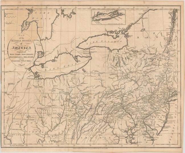
MapMaker: |
John Russell
|
|
| |
| |
Subject: |
Mid-Atlantic United States |
|
| |
Period/Size: |
1794 / 14.3" x 18.1" (36.4 x 46.0 cm)
|
|
| |
Color: |
Black & White
|
|
| |
Condition: |
(B) A nice impression, issued folding with light offsetting and toning, a darker area of toning at top left, and an archivally repaired binding tear that enters 1" into image at left. Narrow left margin, as issued. (condition help) |
|
| |
Source: |
An Historical, Geographical, Commercial, and Philosophical View of the American |
|
| |
References: |
Phillips (Atlases) #1363-6. |
|
| |
|
|
| Sales Information |
| |
| |
Price: |
|
|
| |
| |
Offered by: |
Old World Auctions |
|
| |
Catalog: |
Auction No. 175 - Antique Maps, Charts, Atlases & Globes (9482) |
|
| |
Lot/Item #: |
131 |
|
| |
| |
Date: |
11/2019
|
|
| |
| |
|