| Item Detail |
| |
| |
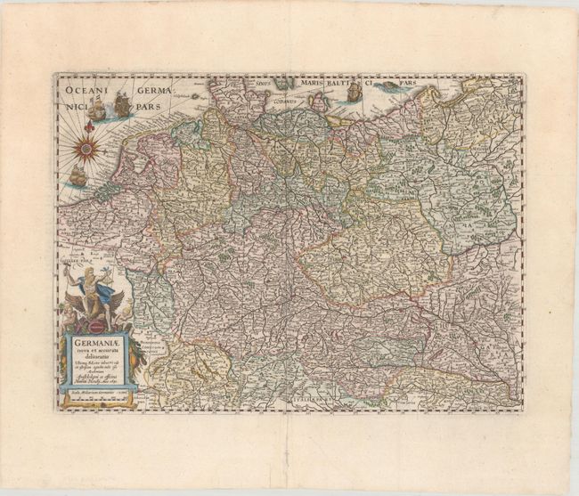
MapMaker: |
Henricus Hondius
|
|
| |
| |
Subject: |
Central Europe, Germany |
|
| |
Period/Size: |
1631 / 13.6" x 18.8" (34.6 x 47.8 cm)
|
|
| |
Color: |
Colored
|
|
| |
Condition: |
(A) A bright sheet with archival repairs to several minor separations along the centerfold and a couple of tears confined to the bottom blank margin. (condition help) |
|
| |
Source: |
Atlas Novus |
|
| |
References: |
Van der Krogt (Vol. I) #2000:1D.1. |
|
| |
|
|
| Sales Information |
| |
| |
Price: |
|
|
| |
| |
Offered by: |
Old World Auctions |
|
| |
Catalog: |
Auction No. 175 - Antique Maps, Charts, Atlases & Globes (9482) |
|
| |
Lot/Item #: |
440 |
|
| |
| |
Date: |
11/2019
|
|
| |
| |
|