| Item Detail |
| |
| |
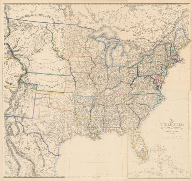
MapMaker: |
Theodor Ettling
|
|
| |
| |
Subject: |
Eastern United States |
|
| |
Period/Size: |
1863 / 16.8" x 12.0" (42.7 x 30.5 cm)
|
|
| |
Color: |
Colored
|
|
| |
Condition: |
(A) Contemporary color with a few minor spots of foxing, a hint of toning, and a soft vertical crease at center on each sheet. The first image is a composite image - the map is in six separate sheets. (condition help) |
|
| |
Source: |
The Dispatch Atlas |
|
| |
References: |
|
|
| |
|
|
| Sales Information |
| |
| |
Price: |
|
|
| |
| |
Offered by: |
Old World Auctions |
|
| |
Catalog: |
Auction No. 175 - Antique Maps, Charts, Atlases & Globes (9482) |
|
| |
Lot/Item #: |
119 |
|
| |
| |
Date: |
11/2019
|
|
| |
| |
|