| Item Detail |
| |
| |
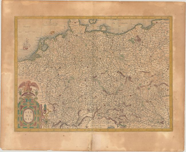
MapMaker: |
Mercator/Hondius
|
|
| |
| |
Subject: |
Central Europe, Germany |
|
| |
Period/Size: |
1619 / 14.2" x 19.5" (36.1 x 49.6 cm)
|
|
| |
Color: |
Colored
|
|
| |
Condition: |
(B) A nice impression on a sheet with a small coat of arms watermark, moderate toning, and minor foxing. There are archival repairs to a short centerfold separation and adjacent tear in the bottom blank margin. (condition help) |
|
| |
Source: |
Gerardi Mercatoris - Atlas sive Cosmographicae |
|
| |
References: |
Van der Krogt (Vol. I) #2000:1A. |
|
| |
|
|
| Sales Information |
| |
| |
Price: |
|
|
| |
| |
Offered by: |
Old World Auctions |
|
| |
Catalog: |
Auction No. 175 - Antique Maps, Charts, Atlases & Globes (9482) |
|
| |
Lot/Item #: |
439 |
|
| |
| |
Date: |
11/2019
|
|
| |
| |
|