| Item Detail |
| |
| |
MapMaker: |
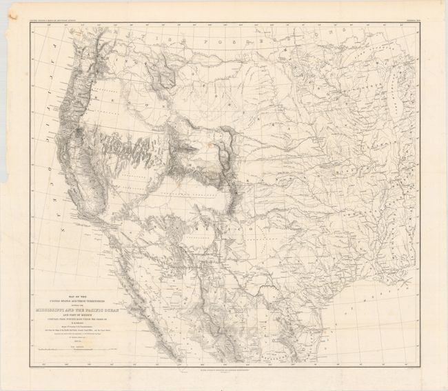
William Hemsley Emory
|
|
| |
| |
Subject: |
Western United States & Mexico |
|
| |
Period/Size: |
1857-58 / 20.3" x 23.0" (51.6 x 58.5 cm)
|
|
| |
Color: |
Black & White
|
|
| |
Condition: |
(B+) Issued folding on a bright sheet with a couple of small spots of foxing, very light offsetting, and a minor mis-fold at bottom left. Full margins. (condition help) |
|
| |
Source: |
United States & Mexican Boundary Survey |
|
| |
References: |
Wheat (TMW) #916. |
|
| |
|
|
| Sales Information |
| |
| |
Price: |
|
|
| |
| |
Offered by: |
Old World Auctions |
|
| |
Catalog: |
Auction No. 175 - Antique Maps, Charts, Atlases & Globes (9482) |
|
| |
Lot/Item #: |
256 |
|
| |
| |
Date: |
11/2019
|
|
| |
| |
|