| Item Detail |
| |
| |
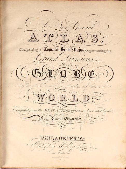
MapMaker: |
Anthony Finley
|
|
| |
| |
Subject: |
Atlases, World |
|
| |
Period/Size: |
1828 / 14.2" x 11.4" (36.1 x 29.0 cm)
|
|
| |
Color: |
Colored
|
|
| |
Condition: |
(A) Condition code is for the maps, which are clean and bright with an occasional spot of foxing and minor soiling in the margins. The original boards have light wear and some minor abrasions. Rebacked with the original spine strip pasted on top. (condition help) |
|
| |
Source: |
|
|
| |
References: |
cf. Phillips (Atlases) #4314; Ristow, pp. 268-270. |
|
| |
|
|
| Sales Information |
| |
| |
Price: |
|
|
| |
| |
Offered by: |
Old World Auctions |
|
| |
Catalog: |
Auction No. 175 - Antique Maps, Charts, Atlases & Globes (9482) |
|
| |
Lot/Item #: |
676 |
|
| |
| |
Date: |
11/2019
|
|
| |
| |
|