| Item Detail |
| |
| |
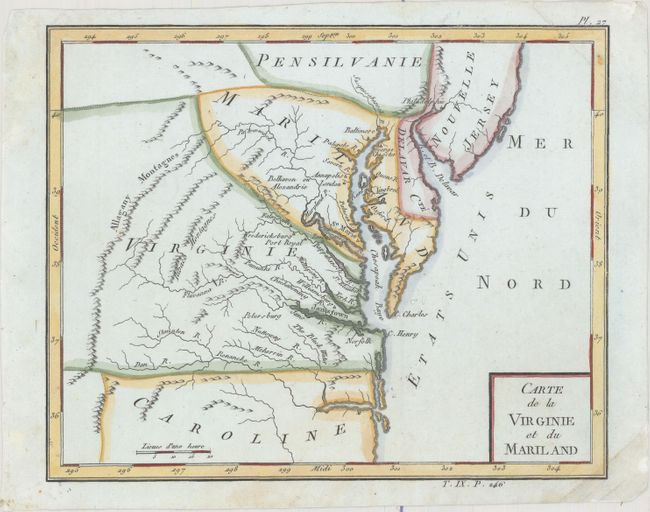
MapMaker: |
Citoyen Bertholon
|
|
| |
| |
Subject: |
Mid-Atlantic United States |
|
| |
Period/Size: |
1798 / 6.9" x 8.6" (17.6 x 21.9 cm)
|
|
| |
Color: |
Colored
|
|
| |
Condition: |
(B+) A nice impression with a few small worm holes in unengraved areas, two of which have been closed on verso with archival material. There are minor creases at top right and bottom right. (condition help) |
|
| |
Source: |
Atlas Moderne Portatif |
|
| |
References: |
|
|
| |
|
|
| Sales Information |
| |
| |
Price: |
|
|
| |
| |
Offered by: |
Old World Auctions |
|
| |
Catalog: |
Auction No. 176 - Antique Maps, Charts, Atlases & Globes (9483) |
|
| |
Lot/Item #: |
139 |
|
| |
| |
Date: |
02/2020
|
|
| |
| |
|