| Item Detail |
| |
| |
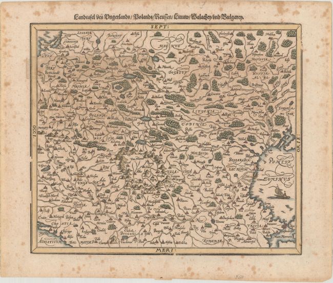
MapMaker: |
Munster/Petri
|
|
| |
| |
Subject: |
Eastern Europe |
|
| |
Period/Size: |
1598 / 12.1" x 14.1" (30.8 x 35.9 cm)
|
|
| |
Color: |
Colored
|
|
| |
Condition: |
(B) There is some uneven toning in the top half of the image and moderate scattered foxing that is mostly confined to the blank margins. (condition help) |
|
| |
Source: |
Cosmographey das is Beschreibung Aller Lander |
|
| |
References: |
Shirley (BL Atlases) T.MUN-1n. |
|
| |
|
|
| Sales Information |
| |
| |
Price: |
|
|
| |
| |
Offered by: |
Old World Auctions |
|
| |
Catalog: |
Auction No. 176 - Antique Maps, Charts, Atlases & Globes (9483) |
|
| |
Lot/Item #: |
494 |
|
| |
| |
Date: |
02/2020
|
|
| |
| |
|