| Item Detail |
| |
| |
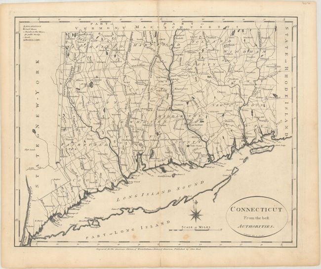
MapMaker: |
John Reid
|
|
| |
| |
Subject: |
Connecticut |
|
| |
Period/Size: |
1796 / 13.9" x 17.1" (35.3 x 43.5 cm)
|
|
| |
Color: |
Black & White
|
|
| |
Condition: |
(B+) A dark impression with a few minor spots at bottom and a 3" tear adjacent to the upper centerfold that has been archivally repaired on verso. (condition help) |
|
| |
Source: |
Winterbothom's History of America |
|
| |
References: |
McCorkle #C796-4; Wheat & Brun #288; Phillips (Atlases) #1216-9. |
|
| |
|
|
| Sales Information |
| |
| |
Price: |
|
|
| |
| |
Offered by: |
Old World Auctions |
|
| |
Catalog: |
Auction No. 176 - Antique Maps, Charts, Atlases & Globes (9483) |
|
| |
Lot/Item #: |
197 |
|
| |
| |
Date: |
02/2020
|
|
| |
| |
|