| Item Detail |
| |
| |
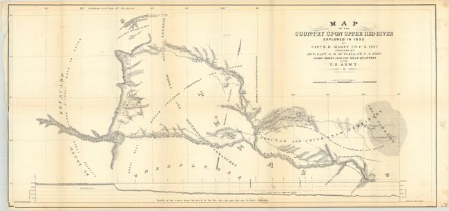
MapMaker: |
Randolph Barnes Marcy
|
|
| |
| |
Subject: |
Texas, Oklahoma |
|
| |
Period/Size: |
1853 / 16.1" x 33.8" (40.9 x 85.9 cm)
|
|
| |
Color: |
Black & White
|
|
| |
Condition: |
(B+) Issued folding with minor foxing and a few small stains. Trimmed close to the neatline at lower right and at left, with a short tear in the top left corner that has been closed on verso with archival tape. (condition help) |
|
| |
Source: |
Exploration of the Red River of Louisiana in the Year 1852 |
|
| |
References: |
Wagner & Camp #226; Howes #M276. |
|
| |
|
|
| Sales Information |
| |
| |
Price: |
|
|
| |
| |
Offered by: |
Old World Auctions |
|
| |
Catalog: |
Auction No. 176 - Antique Maps, Charts, Atlases & Globes (9483) |
|
| |
Lot/Item #: |
252 |
|
| |
| |
Date: |
02/2020
|
|
| |
| |
|