| Item Detail |
| |
| |
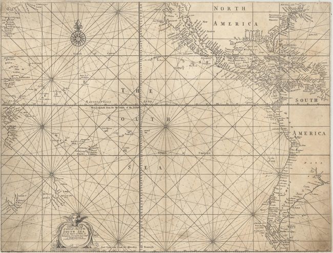
MapMaker: |
Mount & Page
|
|
| |
| |
Subject: |
Pacific Ocean |
|
| |
Period/Size: |
1721 / 17.2" x 22.7" (43.7 x 57.7 cm)
|
|
| |
Color: |
Black & White
|
|
| |
Condition: |
(B) On watermarked paper that has been trimmed to the neatline all around with moderate soiling and two minute worn tracks at lower center. There is some expert paper restoration in a few areas along the sheet edges, with the bottom right-hand edge remar (condition help) |
|
| |
Source: |
|
|
| |
References: |
Suarez, p. 108-109; McLaughlin #201. |
|
| |
|
|
| Sales Information |
| |
| |
Price: |
|
|
| |
| |
Offered by: |
Old World Auctions |
|
| |
Catalog: |
Auction No. 176 - Antique Maps, Charts, Atlases & Globes (9483) |
|
| |
Lot/Item #: |
684 |
|
| |
| |
Date: |
02/2020
|
|
| |
| |
|