| Item Detail |
| |
| |
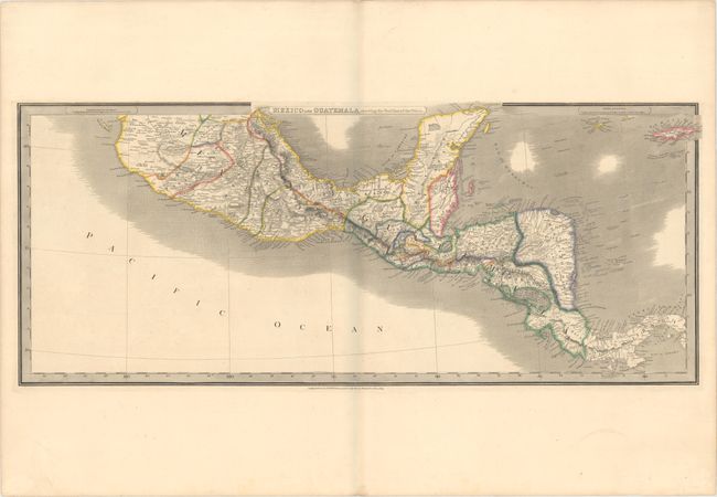
MapMaker: |
James Wyld
|
|
| |
| |
Subject: |
Mexico & Central America |
|
| |
Period/Size: |
1846 / 13.3" x 31.8" (33.8 x 80.8 cm)
|
|
| |
Color: |
Colored
|
|
| |
Condition: |
(A) Contemporary outline color on a sturdy sheet with very wide margins and a hint of offsetting. There is a bluish shadow along the centerfold that is caused by our scanner and does not appear on the map itself. (condition help) |
|
| |
Source: |
|
|
| |
References: |
|
|
| |
|
|
| Sales Information |
| |
| |
Price: |
|
|
| |
| |
Offered by: |
Old World Auctions |
|
| |
Catalog: |
Auction No. 176 - Antique Maps, Charts, Atlases & Globes (9483) |
|
| |
Lot/Item #: |
274 |
|
| |
| |
Date: |
02/2020
|
|
| |
| |
|