| Item Detail |
| |
| |
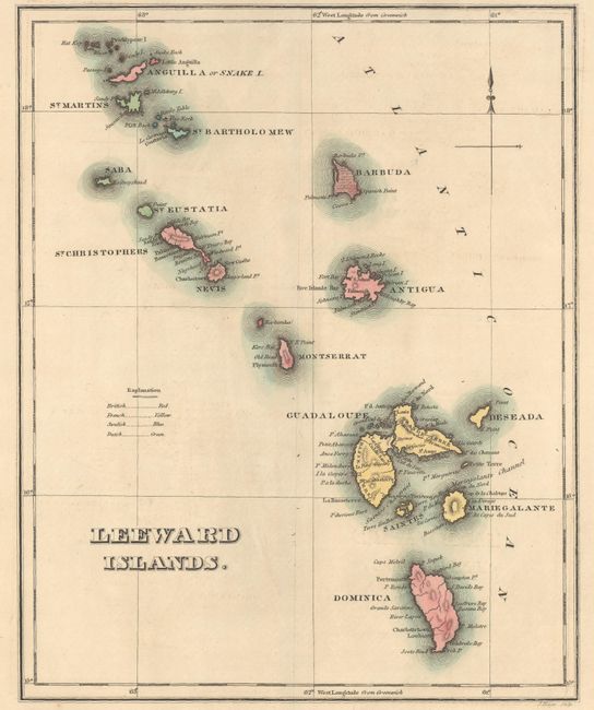
MapMaker: |
Carey & Lea
|
|
| |
| |
Subject: |
Leeward Islands |
|
| |
Period/Size: |
1822 / 11.5" x 9.2" (29.3 x 23.4 cm)
|
|
| |
Color: |
Colored
|
|
| |
Condition: |
(A) A dark impression with full contemporary color on a bright sheet with an archivally repaired centerfold separation that enters the title at top. (condition help) |
|
| |
Source: |
A Complete Historical, Chronological, and Geographical American Atlas |
|
| |
References: |
|
|
| |
|
|
| Sales Information |
| |
| |
Price: |
|
|
| |
| |
Offered by: |
Old World Auctions |
|
| |
Catalog: |
Auction No. 176 - Antique Maps, Charts, Atlases & Globes (9483) |
|
| |
Lot/Item #: |
315 |
|
| |
| |
Date: |
02/2020
|
|
| |
| |
|