| Item Detail |
| |
| |
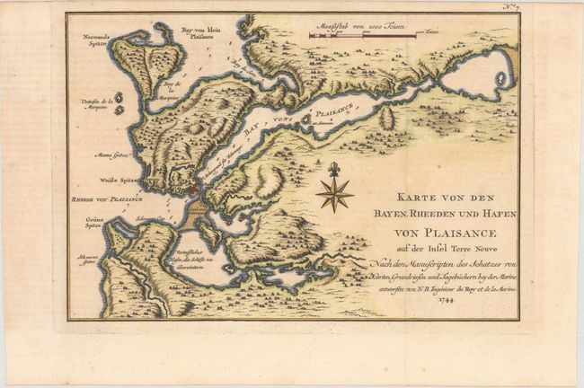
MapMaker: |
Jacques Nicolas Bellin
|
|
| |
| |
Subject: |
Newfoundland, Canada |
|
| |
Period/Size: |
1744 / 7.7" x 11.3" (19.6 x 28.7 cm)
|
|
| |
Color: |
Colored
|
|
| |
Condition: |
(B+) A dark impression on a watermarked sheet, issued folding, with light offsetting from an opposing page of text and a few minor spots of foxing. (condition help) |
|
| |
Source: |
Allgemeine Historie der Reisen zu Wasser und zu Lande... |
|
| |
References: |
Kershaw #520. |
|
| |
|
|
| Sales Information |
| |
| |
Price: |
|
|
| |
| |
Offered by: |
Old World Auctions |
|
| |
Catalog: |
Auction No. 176 - Antique Maps, Charts, Atlases & Globes (9483) |
|
| |
Lot/Item #: |
82 |
|
| |
| |
Date: |
02/2020
|
|
| |
| |
|