| Item Detail |
| |
| |
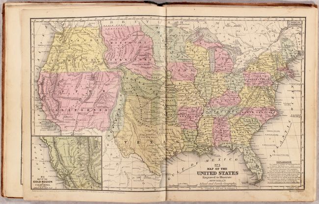
MapMaker: |
Mitchell/Cowperthwait
|
|
| |
| |
Subject: |
Atlases, School |
|
| |
Period/Size: |
1850 / 12.1" x 9.8" (30.8 x 24.9 cm)
|
|
| |
Color: |
Colored
|
|
| |
Condition: |
(B+) Condition code is for the maps, which are very good with occasional light toning, soiling, and scattered foxing. Text block has nearly separated from the binding. Moderate wear to boards and spine. (condition help) |
|
| |
Source: |
|
|
| |
References: |
|
|
| |
|
|
| Sales Information |
| |
| |
Price: |
|
|
| |
| |
Offered by: |
Old World Auctions |
|
| |
Catalog: |
Auction No. 176 - Antique Maps, Charts, Atlases & Globes (9483) |
|
| |
Lot/Item #: |
748 |
|
| |
| |
Date: |
02/2020
|
|
| |
| |
|