| Item Detail |
| |
| |
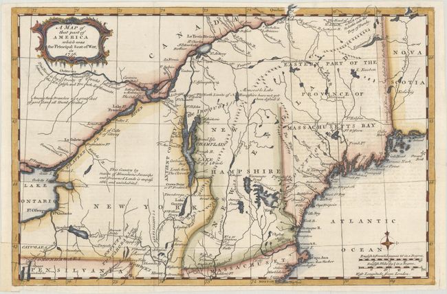
MapMaker: |
Anonymous
|
|
| |
| |
Subject: |
Colonial New England & Mid-Atlantic United States |
|
| |
Period/Size: |
1757 / 8.7" x 13.1" (22.1 x 33.3 cm)
|
|
| |
Color: |
Colored
|
|
| |
Condition: |
(B+) Issued folding with light offsetting from an opposing page of text at right and a short tear below the title cartouche that has been backed with archival tape. There are a few short edge tears, including one along a fold at top right that just enter (condition help) |
|
| |
Source: |
Gentleman's Magazine |
|
| |
References: |
Jolly GENT-102; McCorkle 757.4; Sellers & van Ee #78. |
|
| |
|
|
| Sales Information |
| |
| |
Price: |
|
|
| |
| |
Offered by: |
Old World Auctions |
|
| |
Catalog: |
Auction No. 176 - Antique Maps, Charts, Atlases & Globes (9483) |
|
| |
Lot/Item #: |
124 |
|
| |
| |
Date: |
02/2020
|
|
| |
| |
|