| Item Detail |
| |
| |
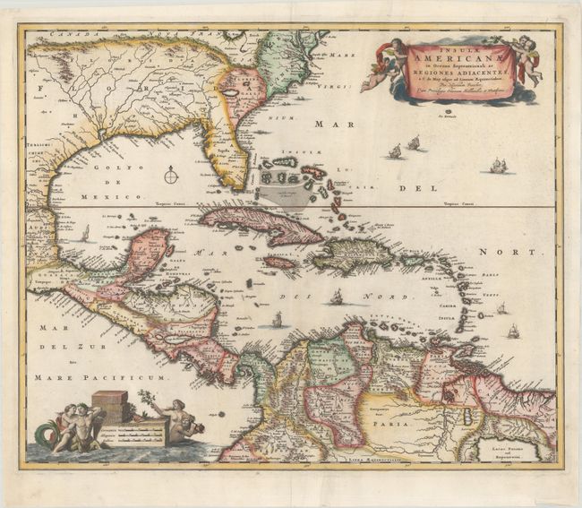
MapMaker: |
Nicolas Visscher
|
|
| |
| |
Subject: |
Gulf of Mexico, Caribbean & Southern United States |
|
| |
Period/Size: |
1682 / 18.3" x 22.2" (46.5 x 56.4 cm)
|
|
| |
Color: |
Colored
|
|
| |
Condition: |
(A) A dark impression on a bright sheet with a soft crease to the right of the centerfold, a professionally repaired centerfold separation at top, and creasing along the bottom edge of the sheet. (condition help) |
|
| |
Source: |
Atlas Minor |
|
| |
References: |
Burden #531; Portinaro & Knirsch #82. |
|
| |
|
|
| Sales Information |
| |
| |
Price: |
|
|
| |
| |
Offered by: |
Old World Auctions |
|
| |
Catalog: |
Auction No. 176 - Antique Maps, Charts, Atlases & Globes (9483) |
|
| |
Lot/Item #: |
293 |
|
| |
| |
Date: |
02/2020
|
|
| |
| |
|