| Item Detail |
| |
| |
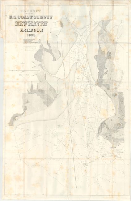
MapMaker: |
U.S. Coast Survey
|
|
| |
| |
Subject: |
Connecticut |
|
| |
Period/Size: |
1838 / 36.9" x 24.3" (93.8 x 61.8 cm)
|
|
| |
Color: |
Black & White
|
|
| |
Condition: |
(B) Issued folding with scattered foxing. The grayish hue at the top of the image is caused by our scanner and is not on the physical map. (condition help) |
|
| |
Source: |
HR Doc. 202, 25th Congress, 3rd Session |
|
| |
References: |
Claussen & Friis #303. |
|
| |
|
|
| Sales Information |
| |
| |
Price: |
|
|
| |
| |
Offered by: |
Old World Auctions |
|
| |
Catalog: |
Auction No. 174 - Antique Maps, Charts, Atlases & Globes (9472) |
|
| |
Lot/Item #: |
203 |
|
| |
| |
Date: |
09/2019
|
|
| |
| |
|