| Item Detail |
| |
| |
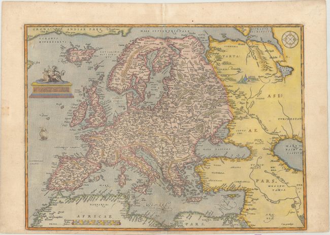
MapMaker: |
Abraham Ortelius
|
|
| |
| |
Subject: |
Europe |
|
| |
Period/Size: |
1571 / 13.5" x 18.4" (34.3 x 46.8 cm)
|
|
| |
Color: |
Colored
|
|
| |
Condition: |
(B+) An early impression, printed on paper with the crossed arrows watermark commonly found on Ortelius' maps. There is light soiling and professional repairs along the centerfold at bottom to a small chip that just enters the border and to several worm (condition help) |
|
| |
Source: |
Theatrum Orbis Terrarum |
|
| |
References: |
Van den Broecke #4. |
|
| |
|
|
| Sales Information |
| |
| |
Price: |
|
|
| |
| |
Offered by: |
Old World Auctions |
|
| |
Catalog: |
Auction No. 174 - Antique Maps, Charts, Atlases & Globes (9472) |
|
| |
Lot/Item #: |
382 |
|
| |
| |
Date: |
09/2019
|
|
| |
| |
|