| Item Detail |
| |
| |
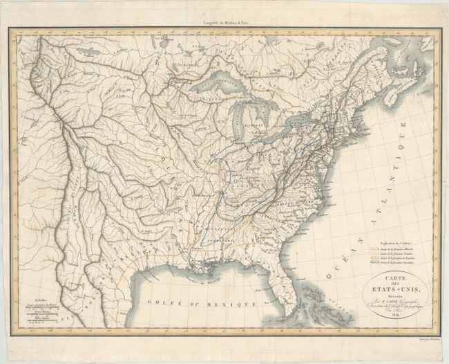
MapMaker: |
Lapie [Family]
|
|
| |
| |
Subject: |
Eastern United States |
|
| |
Period/Size: |
1814 / 12.8" x 17.8" (32.6 x 45.3 cm)
|
|
| |
Color: |
Colored
|
|
| |
Condition: |
(A) Issued folding, now flattened with a minor paper flaw at top right and a hint of soiling. There is a tiny fold separation in the right blank margin, which is very narrow. (condition help) |
|
| |
Source: |
Apercu des Etats-Unis.. |
|
| |
References: |
Marcou #925 (26a) Second Supplement; Phillips (Maps) p.878. |
|
| |
|
|
| Sales Information |
| |
| |
Price: |
|
|
| |
| |
Offered by: |
Old World Auctions |
|
| |
Catalog: |
Auction No. 174 - Antique Maps, Charts, Atlases & Globes (9472) |
|
| |
Lot/Item #: |
133 |
|
| |
| |
Date: |
09/2019
|
|
| |
| |
|