| Item Detail |
| |
| |
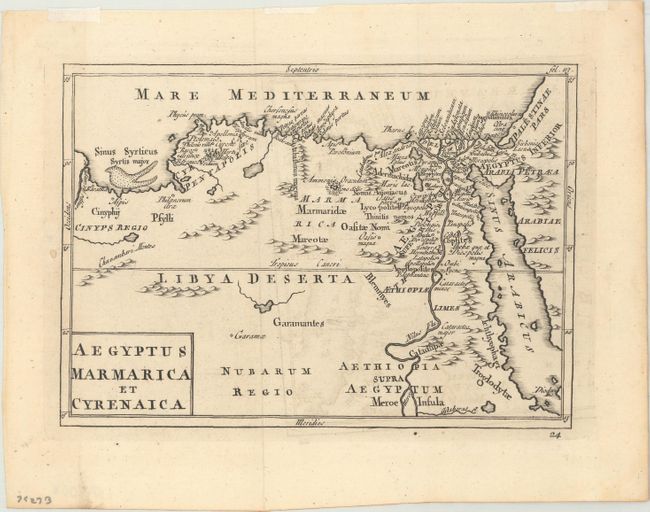
MapMaker: |
Christophorus Cellarius
|
|
| |
| |
Subject: |
Northern Africa |
|
| |
Period/Size: |
1731 / 5.5" x 7.7" (14.0 x 19.6 cm)
|
|
| |
Color: |
Black & White
|
|
| |
Condition: |
(A) Issued folding, now flat, with light offsetting and remnants of hinge tape in the top blank margin. A small worm hole in the left blank margin has been closed on verso. (condition help) |
|
| |
Source: |
Geographia Antiqua |
|
| |
References: |
McCorkle (18th C. Geography Books) #38-23. |
|
| |
|
|
| Sales Information |
| |
| |
Price: |
|
|
| |
| |
Offered by: |
Old World Auctions |
|
| |
Catalog: |
Auction No. 174 - Antique Maps, Charts, Atlases & Globes (9472) |
|
| |
Lot/Item #: |
735 |
|
| |
| |
Date: |
09/2019
|
|
| |
| |
|