| Item Detail |
| |
| |
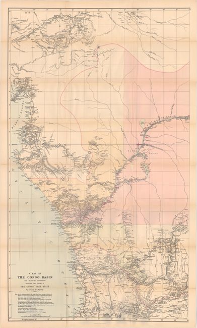
MapMaker: |
Henry Morton Stanley
|
|
| |
| |
Subject: |
Books with maps, Central Africa, Congo |
|
| |
Period/Size: |
1885 / 9.0" x 6.1" (22.9 x 15.5 cm)
|
|
| |
Color: |
Colored
|
|
| |
Condition: |
(B+) The two folding maps are good to very good with a number of small fold separations along the junctions. The second map at the end of volume 2 has a long horizontal fold separation spanning about two-thirds of the map. Text and plates are lightly to (condition help) |
|
| |
Source: |
|
|
| |
References: |
|
|
| |
|
|
| Sales Information |
| |
| |
Price: |
|
|
| |
| |
Offered by: |
Old World Auctions |
|
| |
Catalog: |
Auction No. 174 - Antique Maps, Charts, Atlases & Globes (9472) |
|
| |
Lot/Item #: |
767 |
|
| |
| |
Date: |
09/2019
|
|
| |
| |
|