Title:
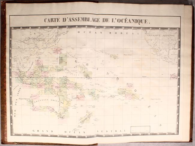
“Atlas Universel de Geographie Physique, Politique, Statistique et Mineralogique...Sixieme Partie. - Oceanique”
Map Maker:
Philippe Marie Guillaume Vandermaelen
This attractive example of Vandermaelen's atlas of... (full text available to subscribers)
| Item Detail |
| |
| |
MapMaker: |
Philippe Marie Guillaume Vandermaelen
|
|
| |
| |
Subject: |
Atlases, Pacific Ocean |
|
| |
Period/Size: |
1827 / 21.8" x 14.9" (55.4 x 37.9 cm)
|
|
| |
Color: |
Colored
|
|
| |
Condition: |
(B+) The maps are generally very good to near fine with occasional light toning and offsetting. Map #27 (Java) is moderately foxed. The two title pages have light foxing and large water stains. Coves have light wear with bumped edges. There is some cr (condition help) |
|
| |
Source: |
|
|
| |
References: |
Phillips (Atlases) #749; Tooley (Australia) pp. 159-60. |
|
| |
|
|
| Sales Information |
| |
| |
Price: |
|
|
| |
| |
Offered by: |
Old World Auctions |
|
| |
Catalog: |
Auction No. 174 - Antique Maps, Charts, Atlases & Globes (9472) |
|
| |
Lot/Item #: |
771 |
|
| |
| |
Date: |
09/2019
|
|
| |
| |
|
Antique Maps - Valuation and Pricing, Descriptions, Resources |
|
Home |
Information |
Search |
Register |
Contact Us |
Site Map
Americana Exchange, Inc. © 1999 - 2024 Americana Exchange, Inc.. All rights reserved.
OldMaps.com, the OldMaps.com logo and
AMPR are service marks or registered service marks of Americana Exchange, Inc..
|