| Item Detail |
| |
| |
MapMaker: |
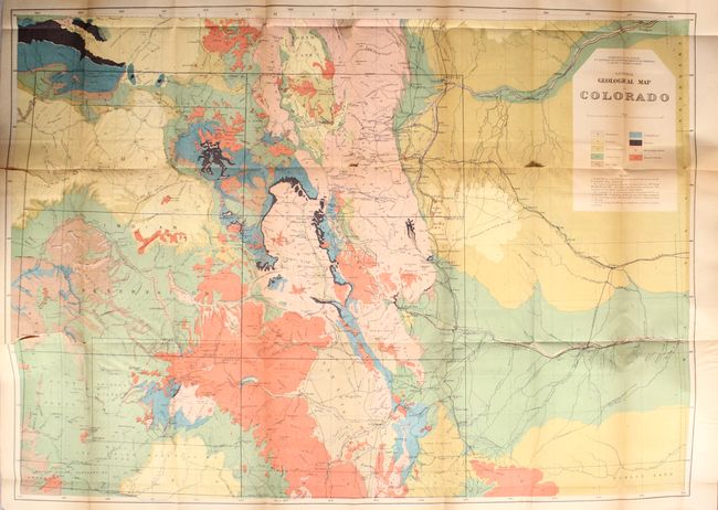
Ferdinand Vandeveer Hayden
|
|
| |
| |
Subject: |
Surveys, Colorado & New Mexico |
|
| |
Period/Size: |
1878 / 9.3" x 5.9" (23.7 x 15.0 cm)
|
|
| |
Color: |
Black & White
|
|
| |
Condition: |
(B) The colorful maps each have light toning especially pronounced along the folds, a number of short fold separations, and binding tears at left. The drainage map has more separations than the other two, with a few small areas of loss. Text is good wit (condition help) |
|
| |
Source: |
|
|
| |
References: |
|
|
| |
|
|
| Sales Information |
| |
| |
Price: |
|
|
| |
| |
Offered by: |
Old World Auctions |
|
| |
Catalog: |
Auction No. 174 - Antique Maps, Charts, Atlases & Globes (9472) |
|
| |
Lot/Item #: |
179 |
|
| |
| |
Date: |
09/2019
|
|
| |
| |
|