| Item Detail |
| |
| |
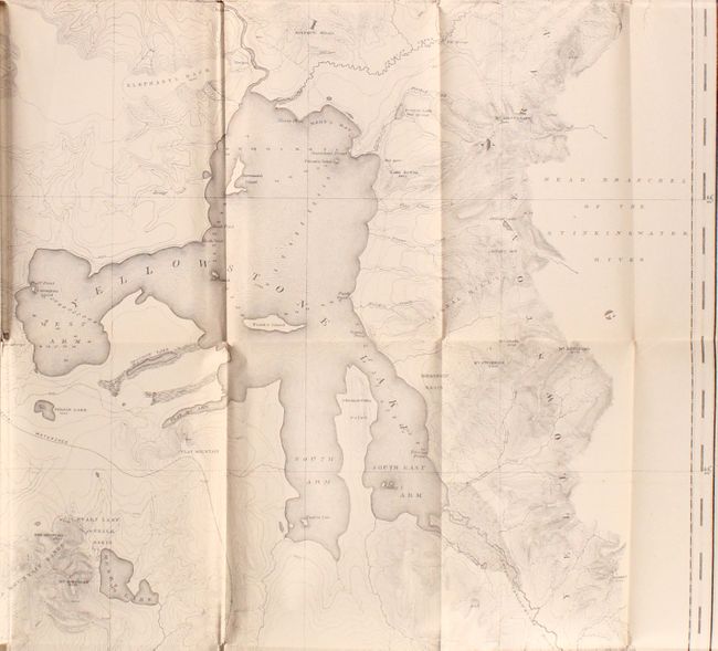
MapMaker: |
Ferdinand Vandeveer Hayden
|
|
| |
| |
Subject: |
Surveys, Yellowstone, Wyoming & Idaho |
|
| |
Period/Size: |
1883 / 9.3" x 6.1" (23.7 x 15.5 cm)
|
|
| |
Color: |
Colored
|
|
| |
Condition: |
(B) All three of the maps described have light toning and short splits, mostly along the folds. The Yellowstone map has a 2" binding tear at left, and the White Mountain map has extraneous creasing. Text block is somewhat loose. Text and plates are lig (condition help) |
|
| |
Source: |
|
|
| |
References: |
Wheat (TMW) #1296. |
|
| |
|
|
| Sales Information |
| |
| |
Price: |
|
|
| |
| |
Offered by: |
Old World Auctions |
|
| |
Catalog: |
Auction No. 174 - Antique Maps, Charts, Atlases & Globes (9472) |
|
| |
Lot/Item #: |
262 |
|
| |
| |
Date: |
09/2019
|
|
| |
| |
|