Title:
“The National Atlas. Containing Elaborate Topographical Maps of the United States and the Dominion of Canada, with Plans of Cities and General Maps of the World...”
Map Maker:
O.W & F.A Gray
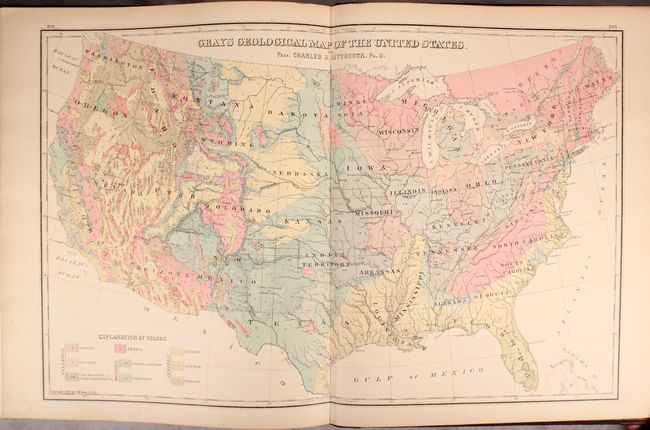
This complete atlas contains 39 single and 33 doub... (full text available to subscribers)
| Item Detail |
| |
| |
MapMaker: |
O.W & F.A Gray
|
|
| |
| |
Subject: |
Atlases, United States |
|
| |
Period/Size: |
1882 / 17.8" x 15.1" (45.3 x 38.4 cm)
|
|
| |
Color: |
Colored
|
|
| |
Condition: |
(B+) The maps are good to very good with overall light toning. Approximately 12 maps (including the U.S. map and a number of eastern state maps) have archival tissue along portions of the centerfold on recto to reinforce and repair some minor fold separa (condition help) |
|
| |
Source: |
|
|
| |
References: |
|
|
| |
|
|
| Sales Information |
| |
| |
Price: |
|
|
| |
| |
Offered by: |
Old World Auctions |
|
| |
Catalog: |
Auction No. 174 - Antique Maps, Charts, Atlases & Globes (9472) |
|
| |
Lot/Item #: |
798 |
|
| |
| |
Date: |
09/2019
|
|
| |
| |
|
Antique Maps - Valuation and Pricing, Descriptions, Resources |
|
Home |
Information |
Search |
Register |
Contact Us |
Site Map
Americana Exchange, Inc. © 1999 - 2024 Americana Exchange, Inc.. All rights reserved.
OldMaps.com, the OldMaps.com logo and
AMPR are service marks or registered service marks of Americana Exchange, Inc..
|