Title:
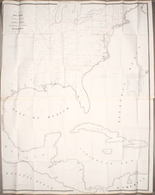
“Skeleton Map Showing the Rail Roads Completed and in Progress in the United States, and Those Projected Through the Public Lands...”
Map Maker:
U.S. Government
This map is nearly identical to a slightly earlier... (full text available to subscribers)
| Item Detail |
| |
| |
MapMaker: |
U.S. Government
|
|
| |
| |
Subject: |
Eastern North America & West Indies |
|
| |
Period/Size: |
1849 / 46.4" x 36.1" (117.9 x 91.7 cm)
|
|
| |
Color: |
Colored
|
|
| |
Condition: |
(B) Issued folding on a bright sheet with a few spots of foxing and some light toning on recto from the adhesive used to join the two sheets together. Trimmed to just inside the border at left with a 2" edge tear just below the title. (condition help) |
|
| |
Source: |
31st Congress, 9th Session |
|
| |
References: |
Modelski (United States) #13. |
|
| |
|
|
| Sales Information |
| |
| |
Price: |
|
|
| |
| |
Offered by: |
Old World Auctions |
|
| |
Catalog: |
Auction No. 174 - Antique Maps, Charts, Atlases & Globes (9472) |
|
| |
Lot/Item #: |
104 |
|
| |
| |
Date: |
09/2019
|
|
| |
| |
|
Antique Maps - Valuation and Pricing, Descriptions, Resources |
|
Home |
Information |
Search |
Register |
Contact Us |
Site Map
Americana Exchange, Inc. © 1999 - 2024 Americana Exchange, Inc.. All rights reserved.
OldMaps.com, the OldMaps.com logo and
AMPR are service marks or registered service marks of Americana Exchange, Inc..
|