| Item Detail |
| |
| |
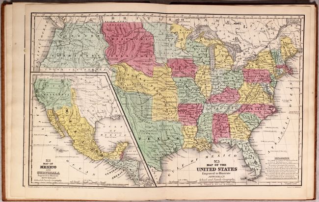
MapMaker: |
Thomas, Cowperthwait & Co.
|
|
| |
| |
Subject: |
Atlases, School |
|
| |
Period/Size: |
1847 / 12.1" x 9.7" (30.8 x 24.7 cm)
|
|
| |
Color: |
Colored
|
|
| |
Condition: |
(A) Condition code is for the maps, which are near fine to fine with an occasional spot of faint foxing. The hinges are starting, the spine is moderately chipped, and the covers are worn. Internally a much nicer example than is normally seen. (condition help) |
|
| |
Source: |
|
|
| |
References: |
|
|
| |
|
|
| Sales Information |
| |
| |
Price: |
|
|
| |
| |
Offered by: |
Old World Auctions |
|
| |
Catalog: |
Auction No. 174 - Antique Maps, Charts, Atlases & Globes (9472) |
|
| |
Lot/Item #: |
795 |
|
| |
| |
Date: |
09/2019
|
|
| |
| |
|