| Item Detail |
| |
| |
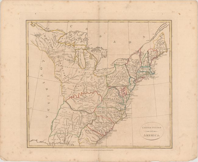
MapMaker: |
Longman & Co.
|
|
| |
| |
Subject: |
Eastern United States |
|
| |
Period/Size: |
1808 / 13.6" x 15.3" (34.6 x 38.9 cm)
|
|
| |
Color: |
Colored
|
|
| |
Condition: |
(B+) Issued on "1807" watermarked paper with faint toning and scattered foxing mostly in the blank margins. A short centerfold separation at bottom extends 1" into the image and has been closed on verso with archival tape. (condition help) |
|
| |
Source: |
Atlas to Cruttwell's Gazetteer |
|
| |
References: |
Phillips (Atlases) #715-7; cf. McCorkle #799-10. |
|
| |
|
|
| Sales Information |
| |
| |
Price: |
|
|
| |
| |
Offered by: |
Old World Auctions |
|
| |
Catalog: |
Auction No. 174 - Antique Maps, Charts, Atlases & Globes (9472) |
|
| |
Lot/Item #: |
132 |
|
| |
| |
Date: |
09/2019
|
|
| |
| |
|