| Item Detail |
| |
| |
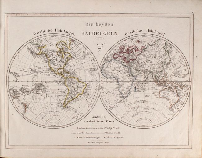
MapMaker: |
Joseph Dirwaldt
|
|
| |
| |
Subject: |
Atlases, School |
|
| |
Period/Size: |
1818 / 15.7" x 20.5" (39.9 x 52.1 cm)
|
|
| |
Color: |
Colored
|
|
| |
Condition: |
(B+) The maps are mostly clean and bright with original outline color. There is occasional soiling and old notations, most notably on the map of Germany. The covers and spine are well worn with some chips and abrasions. (condition help) |
|
| |
Source: |
|
|
| |
References: |
|
|
| |
|
|
| Sales Information |
| |
| |
Price: |
|
|
| |
| |
Offered by: |
Old World Auctions |
|
| |
Catalog: |
Auction No. 177 - Antique Maps, Charts, Atlases & Globes (9498) |
|
| |
Lot/Item #: |
783 |
|
| |
| |
Date: |
04/2020
|
|
| |
| |
|