|
|
||
Title:
“A Modern, Authentic and Complete System of Universal Geography. All the Late Important Discoveries Made by the English, and Other Celebrated Navigators of Various Nations...”
Map Maker:
Thomas Bankes
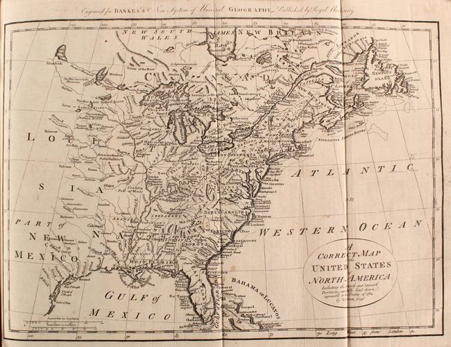
Thomas Bankes' System of Universal Geography
|
|
|||||||||||||||||||||||||||||||||||||||||||||||||||||||||||||||||||||||||||||||||||||||||
Antique Maps - Valuation and Pricing, Descriptions, Resources | ||||||||||||||||||||||||||||||||||||||||||||||||||||||||||||||||||||||||||||||||||||||||||
|
Home |
Information |
Search |
Register |
Contact Us |
Site Map
Americana Exchange, Inc. © 1999 - 2024 Americana Exchange, Inc.. All rights reserved.
OldMaps.com, the OldMaps.com logo and |