| Item Detail |
| |
| |
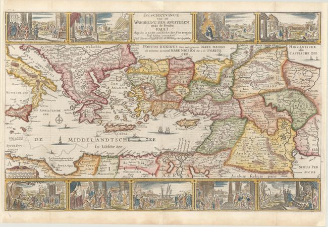
MapMaker: |
Isaac van de Putte
|
|
| |
| |
Subject: |
Eastern Mediterranean & Middle East |
|
| |
Period/Size: |
1718 / 12.1" x 19.1" (30.8 x 48.6 cm)
|
|
| |
Color: |
Colored
|
|
| |
Condition: |
(A) A nice impression, issued folding and now flattened with professional repairs to separations along the centerfold and to two chips confined to the blank margins. The right and left margins have been professionally extended a bit to accommodate framin (condition help) |
|
| |
Source: |
|
|
| |
References: |
Poortman & Augusteijn #175. |
|
| |
|
|
| Sales Information |
| |
| |
Price: |
|
|
| |
| |
Offered by: |
Old World Auctions |
|
| |
Catalog: |
Auction No. 177 - Antique Maps, Charts, Atlases & Globes (9498) |
|
| |
Lot/Item #: |
577 |
|
| |
| |
Date: |
04/2020
|
|
| |
| |
|