| Item Detail |
| |
| |
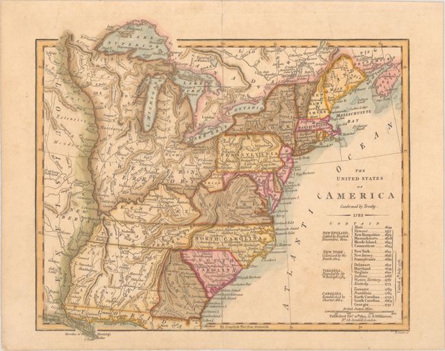
MapMaker: |
Robert Wilkinson
|
|
| |
| |
Subject: |
Eastern United States, Franklinia |
|
| |
Period/Size: |
1812 / 9.8" x 11.3" (24.9 x 28.7 cm)
|
|
| |
Color: |
Colored
|
|
| |
Condition: |
(B+) On watermarked paper dated 1812 with a hint of toning. The map has fully separated along the centerfold and been skillfully rejoined with archival tissue on verso. (condition help) |
|
| |
Source: |
A General Atlas |
|
| |
References: |
Baynton-Williams (TMC-72) #15.1; Dotson & Baker (OWA) #22.2. |
|
| |
|
|
| Sales Information |
| |
| |
Price: |
|
|
| |
| |
Offered by: |
Old World Auctions |
|
| |
Catalog: |
Auction No. 177 - Antique Maps, Charts, Atlases & Globes (9498) |
|
| |
Lot/Item #: |
116 |
|
| |
| |
Date: |
04/2020
|
|
| |
| |
|