Title:
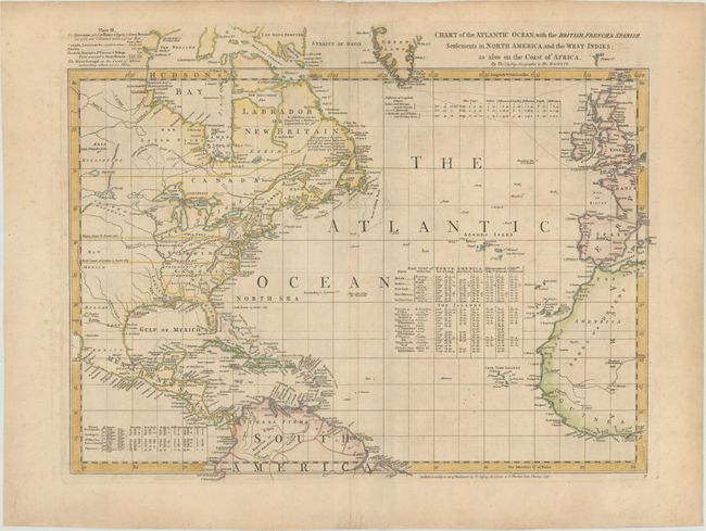
“Chart of the Atlantic Ocean, with the British, French, & Spanish Settlements in North America, and the West Indies; as Also on the Coast of Africa”
Map Maker:
Thomas Jefferys
This is sheet IV of a six-sheet map of the western... (full text available to subscribers)
| Item Detail |
| |
| |
MapMaker: |
Thomas Jefferys
|
|
| |
| |
Subject: |
North Atlantic |
|
| |
Period/Size: |
1763 / 18.8" x 24.3" (47.8 x 61.8 cm)
|
|
| |
Color: |
Colored
|
|
| |
Condition: |
(B+) Good impression on thick paper with large fleur-de-lys watermark and wide margins. Some marginal tears and a little light soiling on map, still very good. Soft crease next to centerfold. (condition help) |
|
| |
Source: |
|
|
| |
References: |
Ristow, pp. 31-32; Schwartz & Erhrenberg, p.158-59; Stevens & Tree #4-Sheet IV (b); Wagner (NW) #578 & p. 160 (1st ed.). |
|
| |
|
|
| Sales Information |
| |
| |
Price: |
|
|
| |
| |
Offered by: |
Old World Auctions |
|
| |
Catalog: |
Auction No. 177 - Antique Maps, Charts, Atlases & Globes (9498) |
|
| |
Lot/Item #: |
352 |
|
| |
| |
Date: |
04/2020
|
|
| |
| |
|
Antique Maps - Valuation and Pricing, Descriptions, Resources |
|
Home |
Information |
Search |
Register |
Contact Us |
Site Map
Americana Exchange, Inc. © 1999 - 2024 Americana Exchange, Inc.. All rights reserved.
OldMaps.com, the OldMaps.com logo and
AMPR are service marks or registered service marks of Americana Exchange, Inc..
|